Biggest snowstorm in more than two years hits New York City

The biggest snowstorm in more than two years hit New York City on Tuesday, with heavy snow stretching from New Jersey to near Boston.
The big picture: The fast-moving storm that killed at least one person continued to affect travel throughout the region as it exited over Tuesday night, disrupting flights and making driving treacherous following the heavy snowfall rates.
State of play: The storm, which was unusually finicky to predict, brought more than 15 inches of snow to Hartford, Conn., and at least 6 inches to New York City — with 3.2" falling in Central Park.
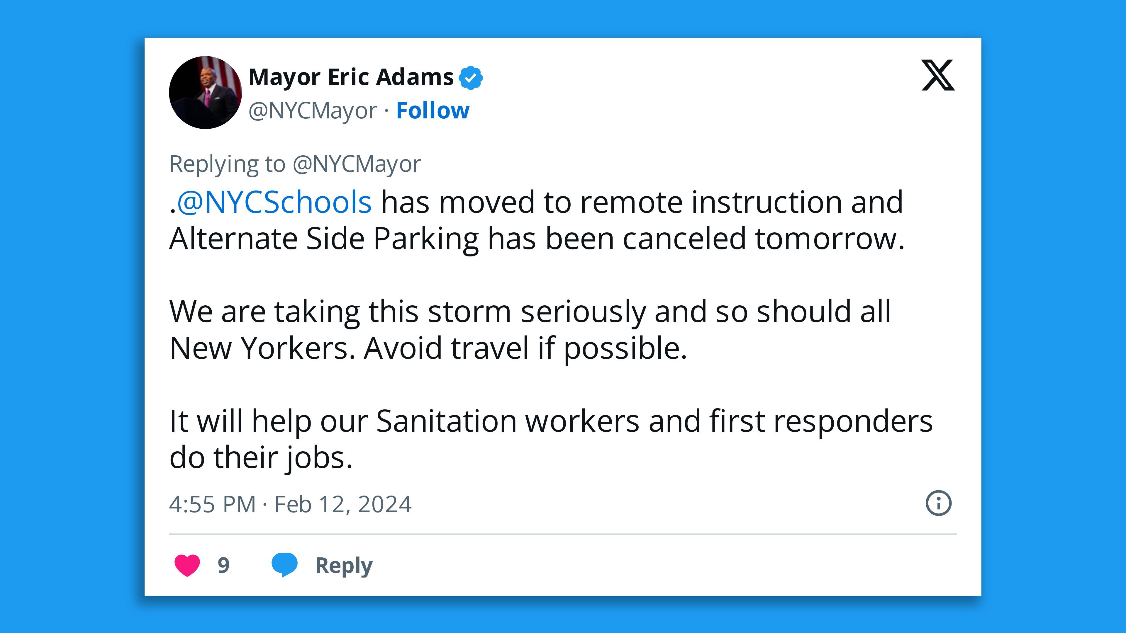
- The snow in New York is the city's heaviest since 2022 and authorities urged New Yorkers in a post to X noting schools were reopening Wednesday to maintain caution while traveling "as below freezing temperatures may cause icy roadways and sidewalks."
- Connecticut and Pennsylvania were the worst affected, with reports of snow amounts exceeding a foot.
- A 20-year-old Pennsylvania man died in a snowmobile accident as state authorities responded to multiple hazards from the storm, including downed power lines and trees, Newberry Township Police Department said in a statement.
Meanwhile, Boston was bracing for 7 to 13 inches of snow, but only 0.1 of an inch had fallen by Tuesday evening — though other parts of Massachusetts did receive a heavy dump of snow.
Here is the preliminary snowfall totals across southern New England from today. The heaviest snow fell across much of Connecticut, Rhode Island, and southeast Massachusetts. pic.twitter.com/lPkAPiewyZ
— NWS Boston (@NWSBoston) February 13, 2024
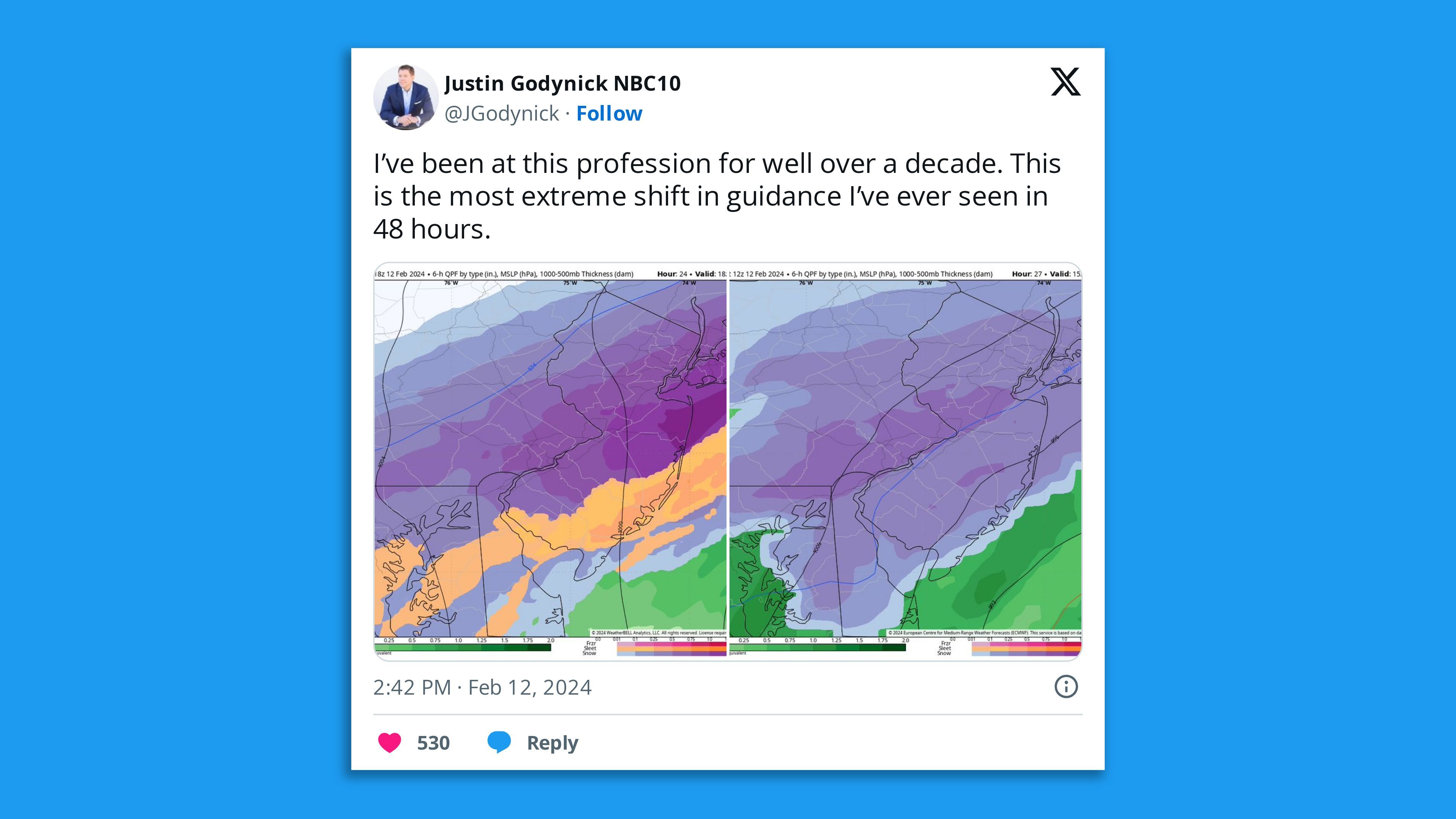
The intrigue: The forecast for this storm significantly changed on Monday, as computer models adjusted the track of the center of low pressure well to the south of initial projections.
- Boston was originally supposed to get the heaviest precipitation from this storm, with just 1 to 2 inches in Central Park.
- The storm track revision was due to shifts in the jet stream that guide and intensify such storms, along with the track of mid-level energy that is key to producing the heaviest areas of snowfall, according to the NWS' Boston forecast office.
Between the lines: With nor'easters, it's more common to see forecast adjustments to the northwest as a storm nears than it is to the south. The direction and significance of the shift appeared to catch some forecasters off guard.
- "There's been a big change to the forecast this afternoon based on a remarkably late but notable trend," the NWS Boston office said in a forecast discussion Monday afternoon.
- To try to reduce the considerable forecast uncertainty, including for New York City, the Hurricane Hunters reportedly flew a mission in and around the storm Monday night, dropping instruments to feed data into the next round of computer models.
Zoom in: A low pressure area formed along the Mid-Atlantic coast Monday night and will rapidly intensify through Tuesday night, potentially qualifying as a "bomb cyclone," named after the intensification process known as bombogenesis.
- The rapid intensification will lead to strong winds, and blowing and drifting snow in southeastern Massachusetts, as well as the threat of coastal flooding.
Go deeper... In photos: Heavy snow hits New York City, Southern New England
Editor's note: This article has been updated with new details throughout.