Arctic blast brings "dangerously low temperatures" to U.S.: Over 110M under wind chill alerts

Editor's note: Follow the latest updates on the extreme U.S. weather here.
An Arctic outbreak tied to a piece of polar vortex was bringing subfreezing temperatures across the U.S., leaving over 110 million people under wind chill warnings and advisories Sunday evening.
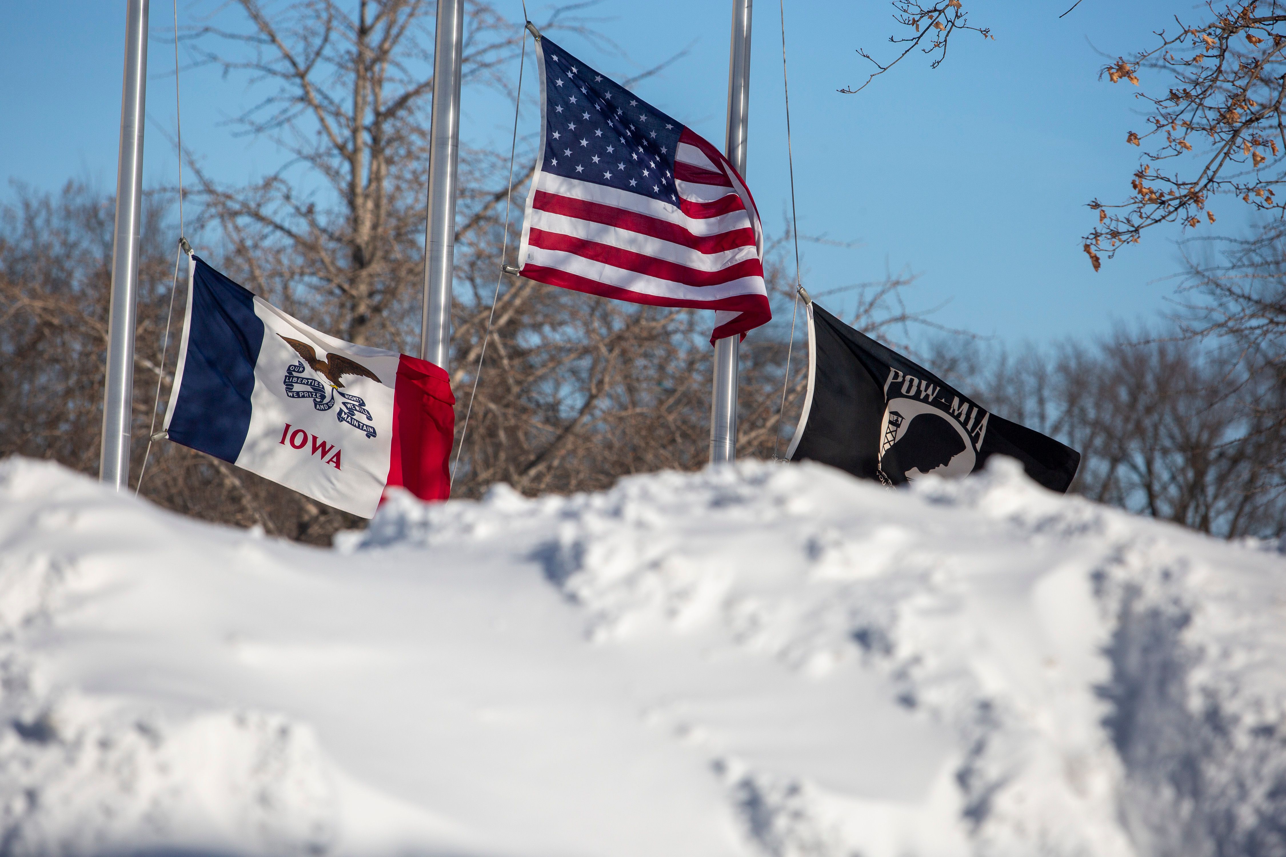
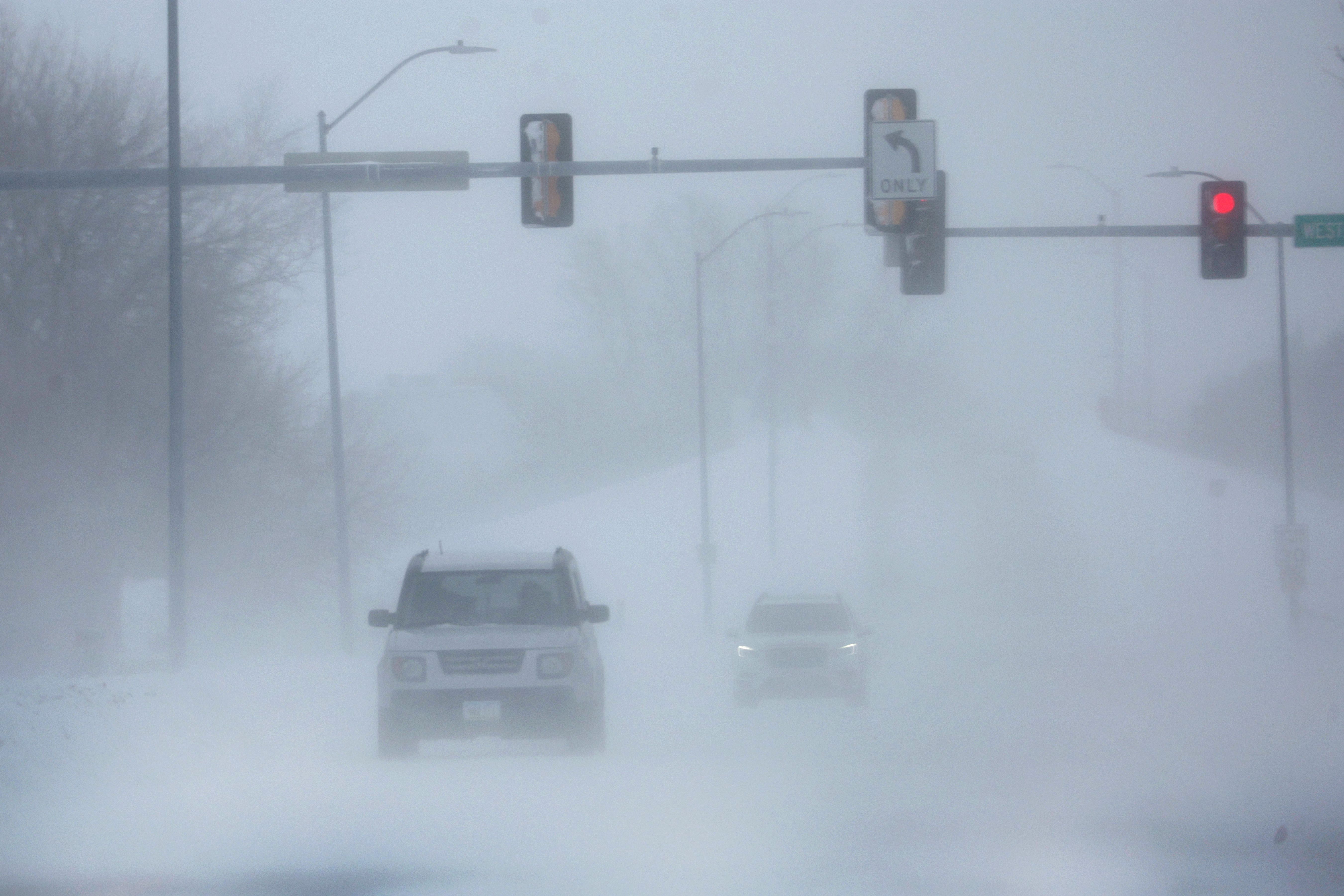
The big picture: The National Weather Service warned parts of the Midwest would again experience "near-record, dangerously low temperatures and wind chills," with wind chills below negative 30 degrees below zero from the Northern Rockies to northern Kansas and into Iowa, as the state prepared for Monday's first-in-the-nation caucuses.
Many spots across the southern US awoke to dangerous, sub-zero wind chills, and NWS Wind Chill products in effect for 25 states.
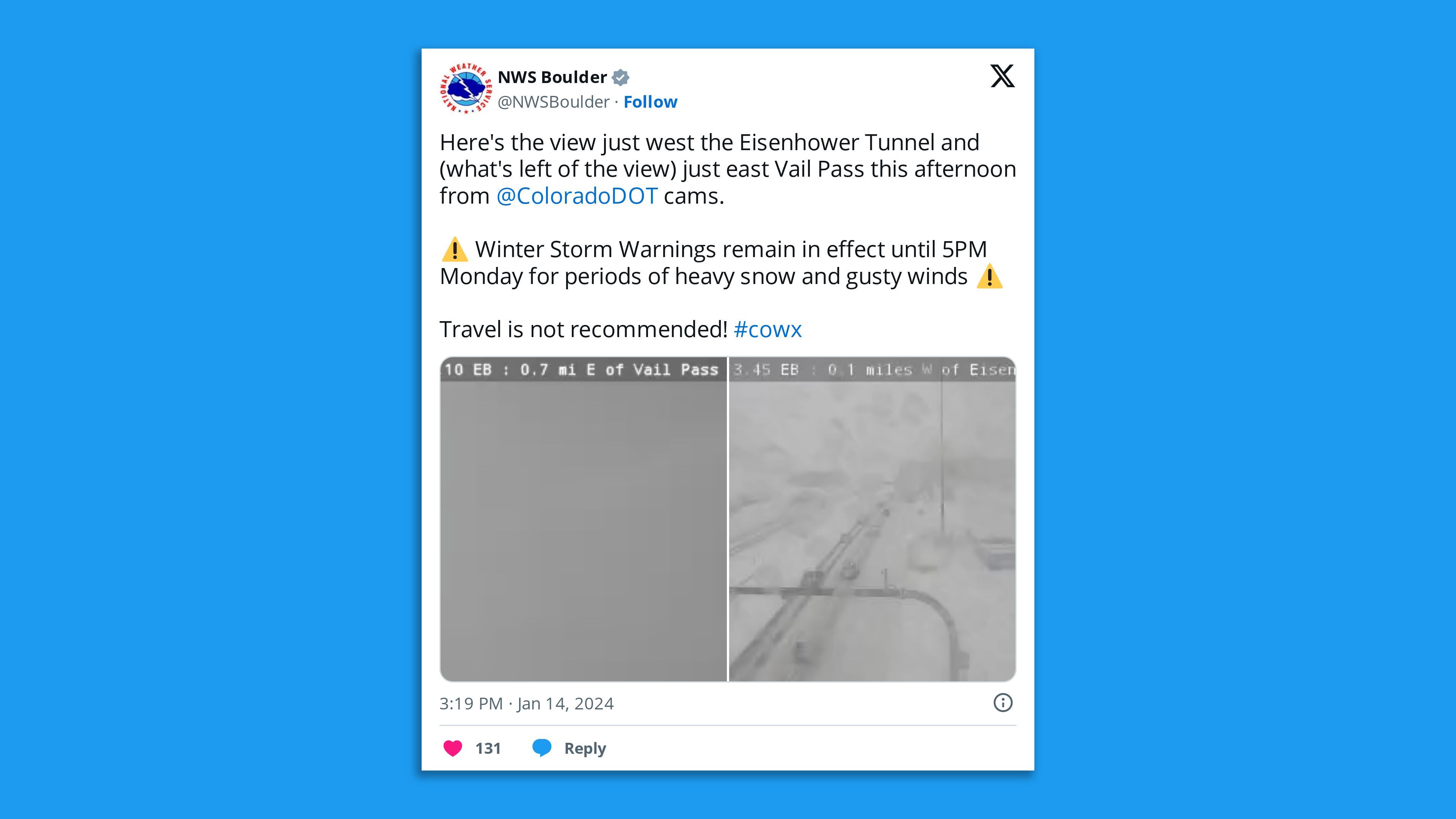
— National Weather Service (@NWS) January 14, 2024
If you're in an impacted area, avoid outside activities if possible, and when outside, make sure you wear appropriate clothing, a hat, and gloves. pic.twitter.com/OhnUReEJSU
Threat level: "The cold air associated with the high pressure will produce dangerously cold wind chills," according to a NWS forecast discussion early Monday.
- "The temperatures will be 25 to 40 degrees below average from the Northern Rockies to the Plains, Middle Mississippi Valley, and Ohio Valley. ... sub-zero wind chills will affect much of the U.S. and reach into portions of the South," the NWS said.
- "Values will drop as low as negatives 50 degrees below zero from Montana across the western Dakotas. These wind chills will pose a risk of frostbite on exposed skin and hypothermia."
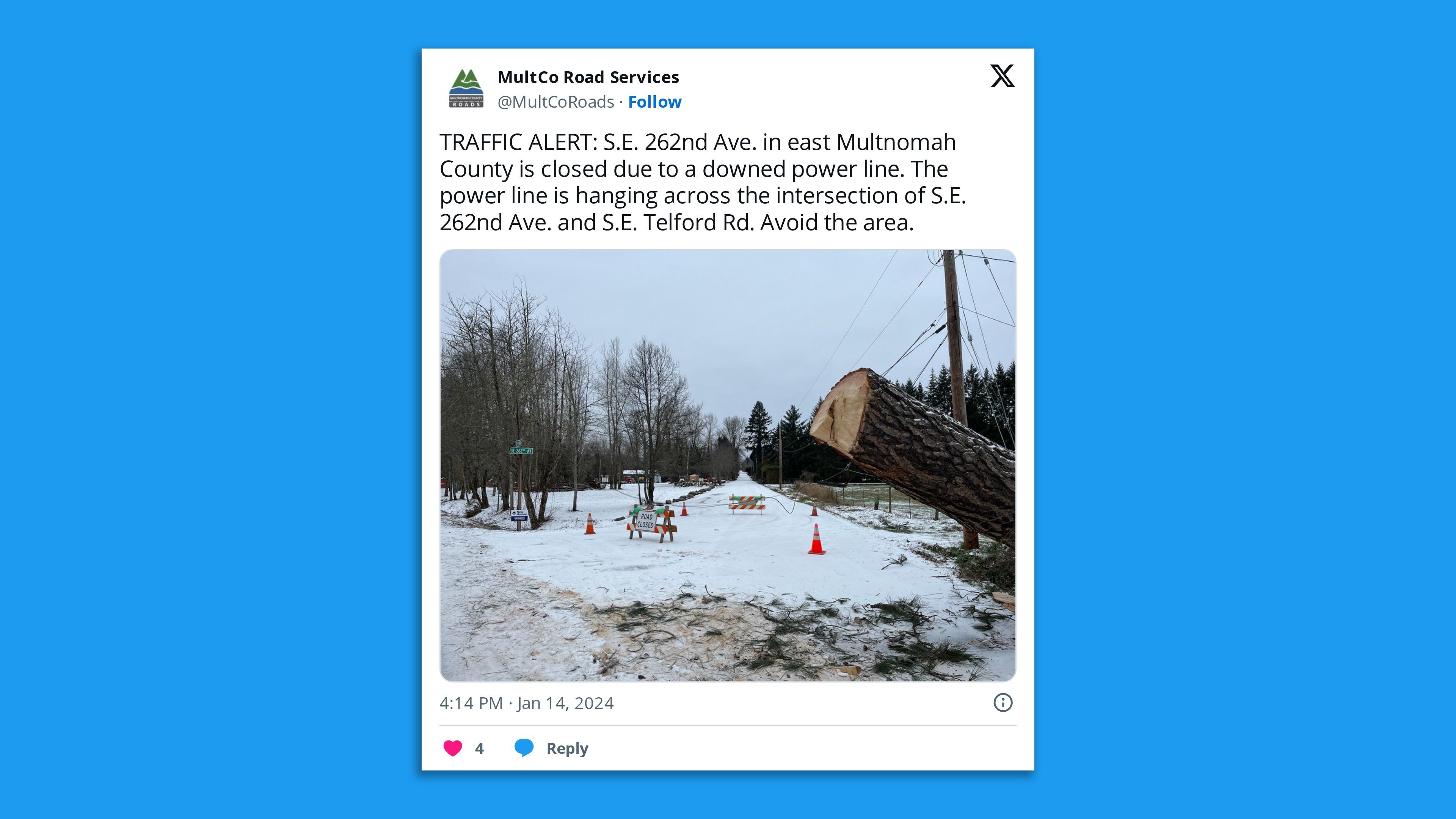
- In Oregon, authorities said strong winds from the winter storm downed trees and powerlines across the state, resulting in the deaths of two people in two separate incidents.
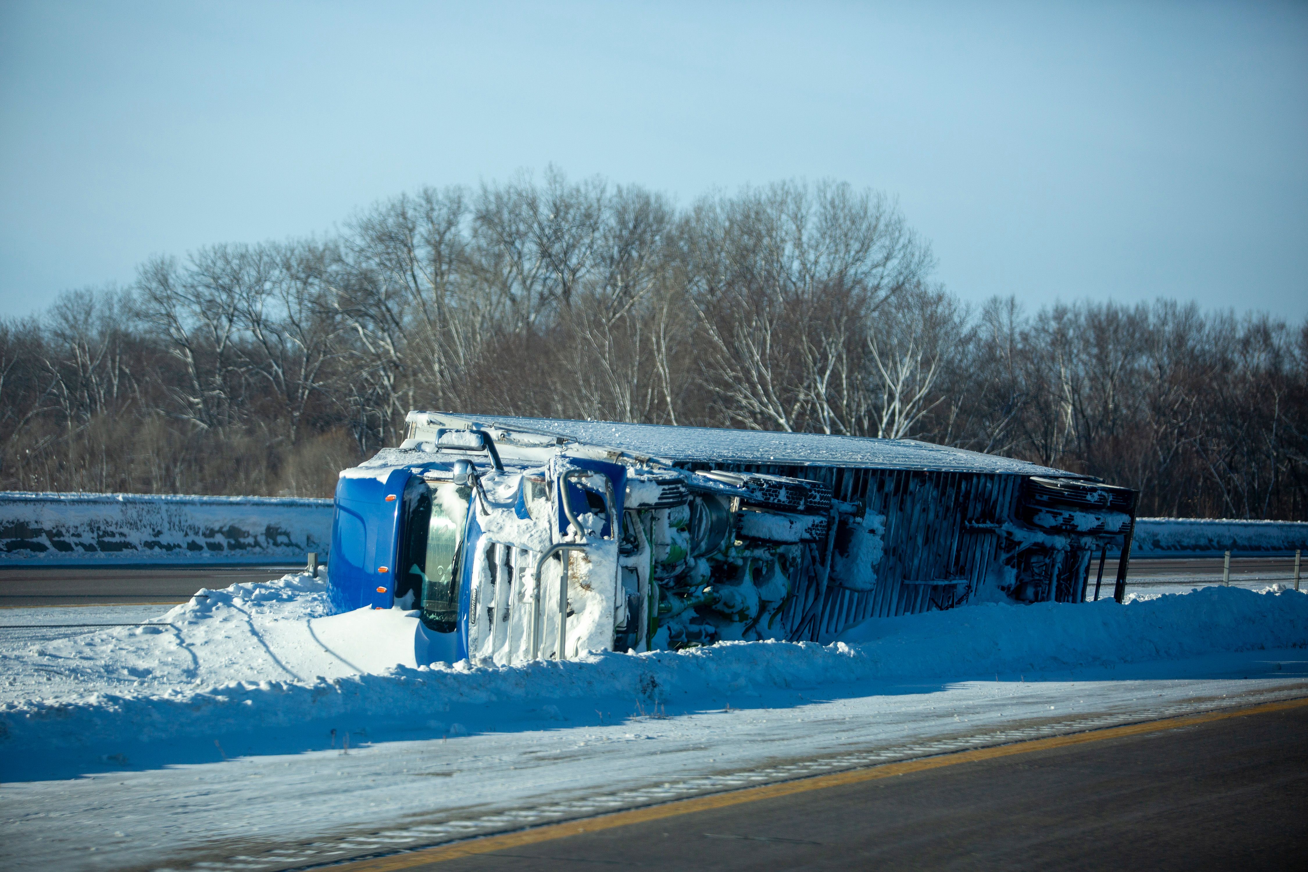
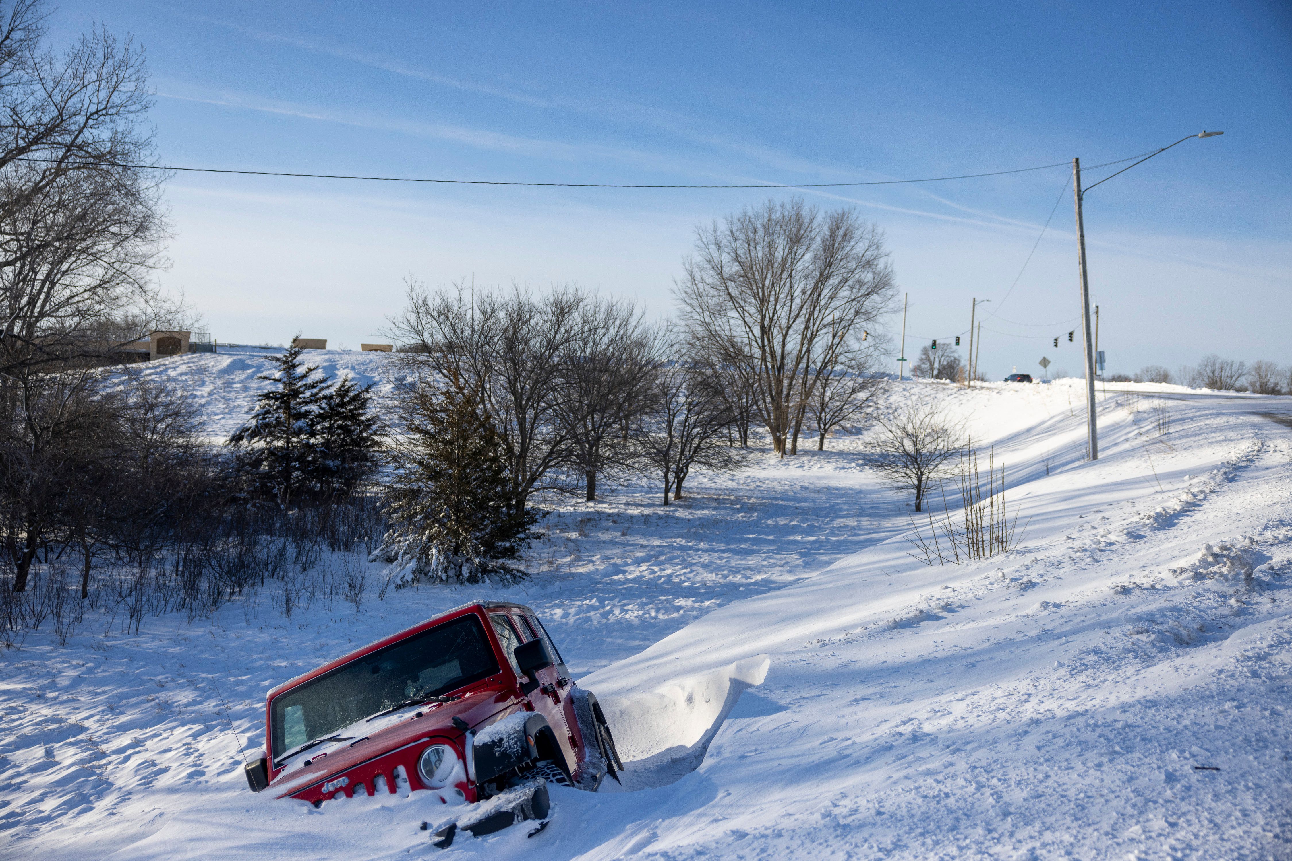
By the numbers: Several new records were set or tied over the weekend — including in the Quad Cities, which experienced its snowiest week since record-keeping began in 1884.
- Colorado Springs' temperatures dipped to -6°F Sunday — a daily record for Jan. 14. Rapid City Airport, South Dakota, tied the Jan. 14 record low of -23°F — two days after breaking its record low for Jan. 12 when temperatures dipped to -18°F.
- Widespread power outages were reported in Oregon (more than 104,000) and Pennsylvania (nearly 21,000) early Monday, per utility tracker poweroutage.us.
- The frigid conditions raised concerns about Texas' electricity grid, which experienced a major failure during a deadly February 2021 cold blast. As of early Monday, nearly 17,000-plus customers were without power in the state.
TXANS Update—Jan. 14, 2024: ERCOT has issued a Conservation Appeal for Monday, Jan. 15, from 6 – 10 a.m. CT. Operating reserves are expected to be low tomorrow morning due to continued freezing temperatures, record-breaking demand, and unseasonably low wind. We request Texas… pic.twitter.com/EGBg8zliSs
— ERCOT (@ERCOT_ISO) January 14, 2024
State of play: This expansive cold snap was bringing the threat of -50°F from Montana across the western Dakotas, with the threat of snow and ice in the South and subfreezing temperatures possible in the Deep South by late in the week.
- Snow and freezing rain were forecast from the West Coast to the Rocky Mountains. Snow, sleet and freezing rain were set to continue to develop and extend east from the Southern Plains, through the Arkansas, Louisiana and Texas into the Tennessee Valley overnight Sunday into Monday.
- Mississippi's governor declared an emergency for the state and Alabama's governor issued a state of emergency for 25 counties in response to the extreme weather threat Sunday.
1:18 PM: We're already getting multiple reports of slick roads across the area with conditions worsening tonight.
— NWS Fort Worth (@NWSFortWorth) January 14, 2024
⚠️Stay home if possible. If you MUST drive, exercise caution & try to avoid bridges/overpasses!
📲👀If you can, be our eyes on the ground & send us reports! #txwx
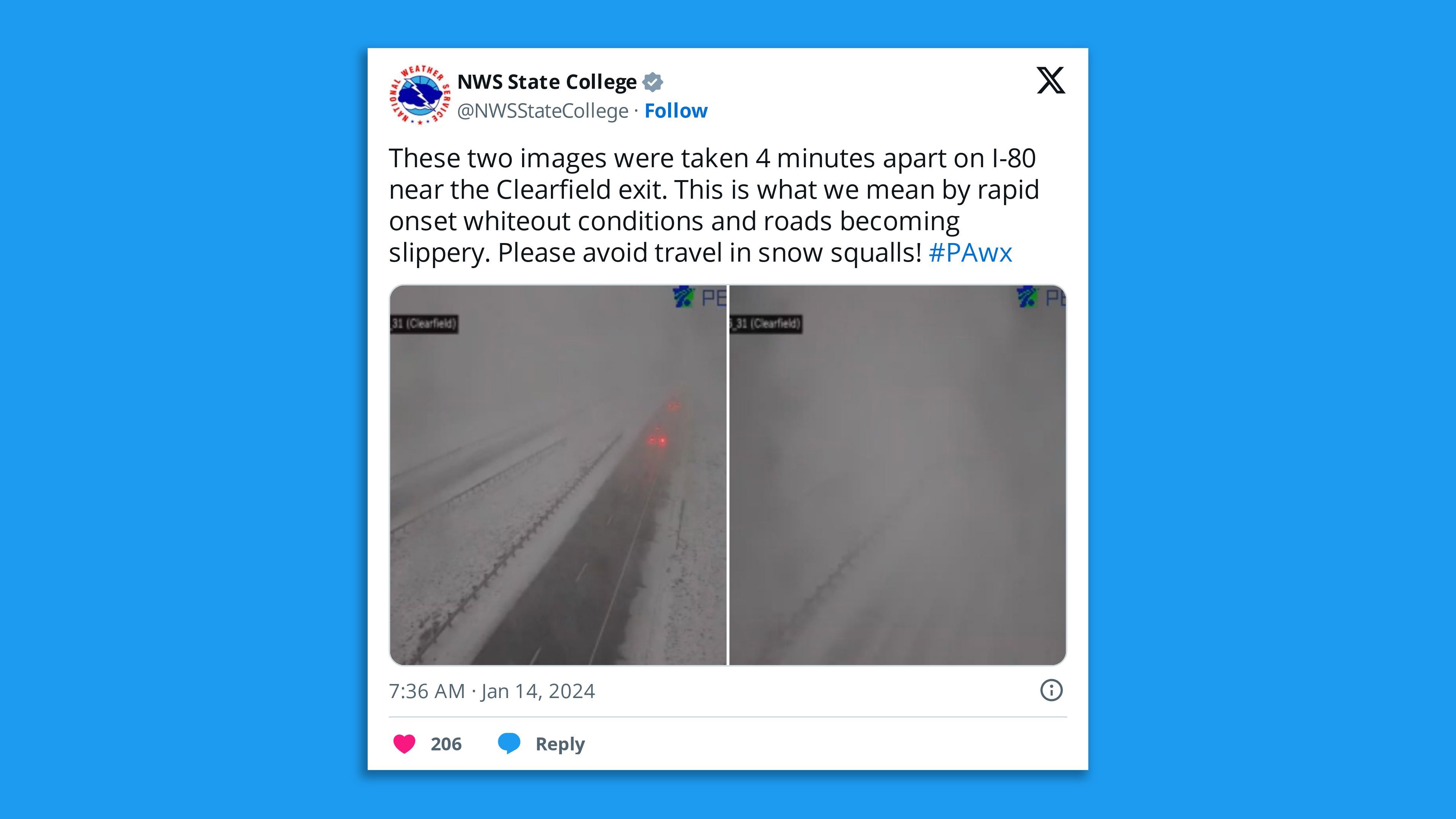
Separately, heavy snow and strong winds were expected across portions of the Great Basin to the Central Rockies through Sunday, while heavy lake-effect snow was set to persist downwind of the Great Lakes into Monday due to "very cold air."
- "Accumulating ice is expected from portions of central and southern Texas through the Lower Mississippi Valley into parts of the Tennessee Valley and Southern Appalachians," the NWS said in a forecast discussion Sunday.
Meanwhile, former President Trump and his Republican presidential rivals campaigned in Iowa's frigid cold on Sunday in their final push the day before the caucuses.
What we're watching: There are signs that another push of Arctic air will hit the Midwest and Eastern U.S. by next weekend.
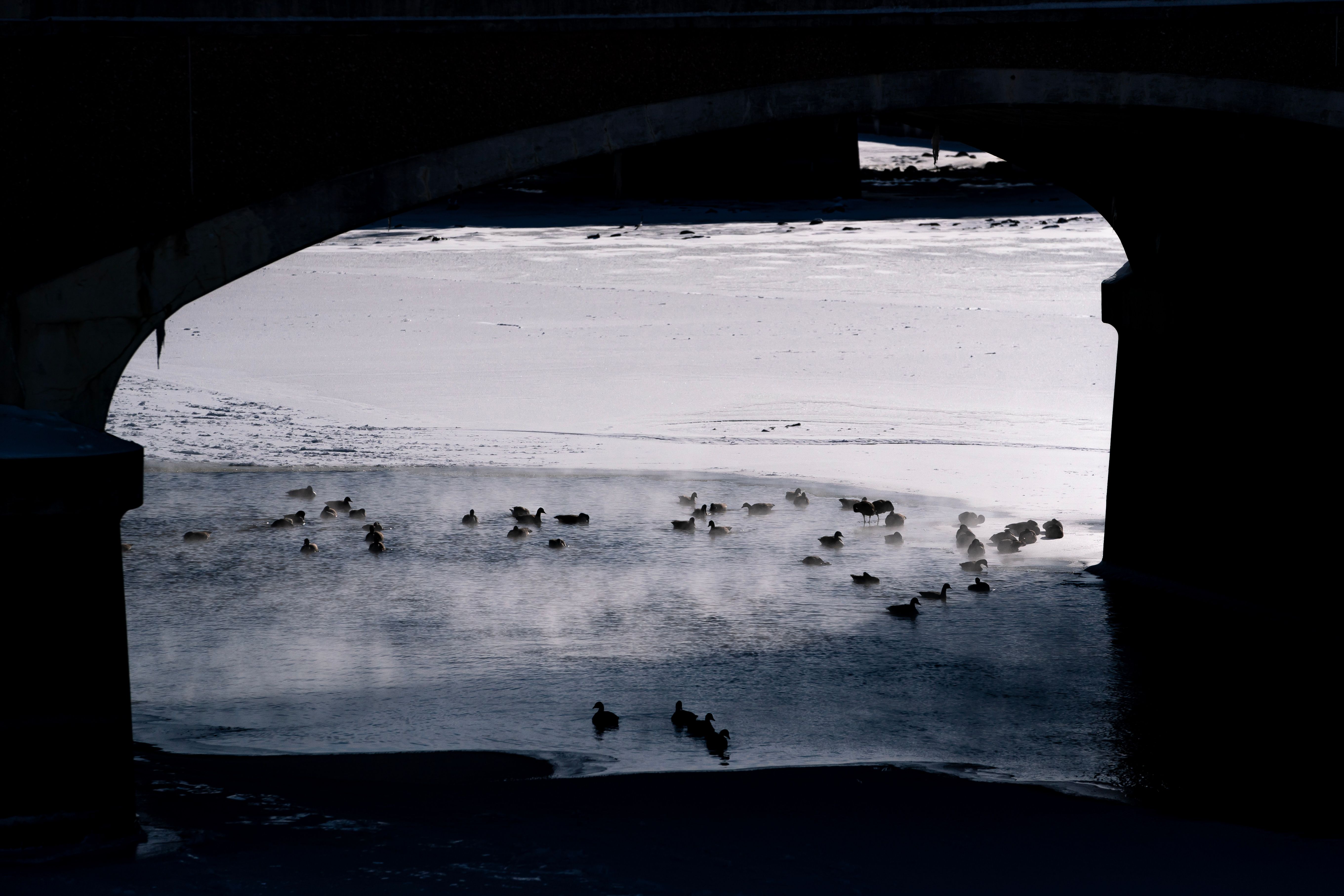
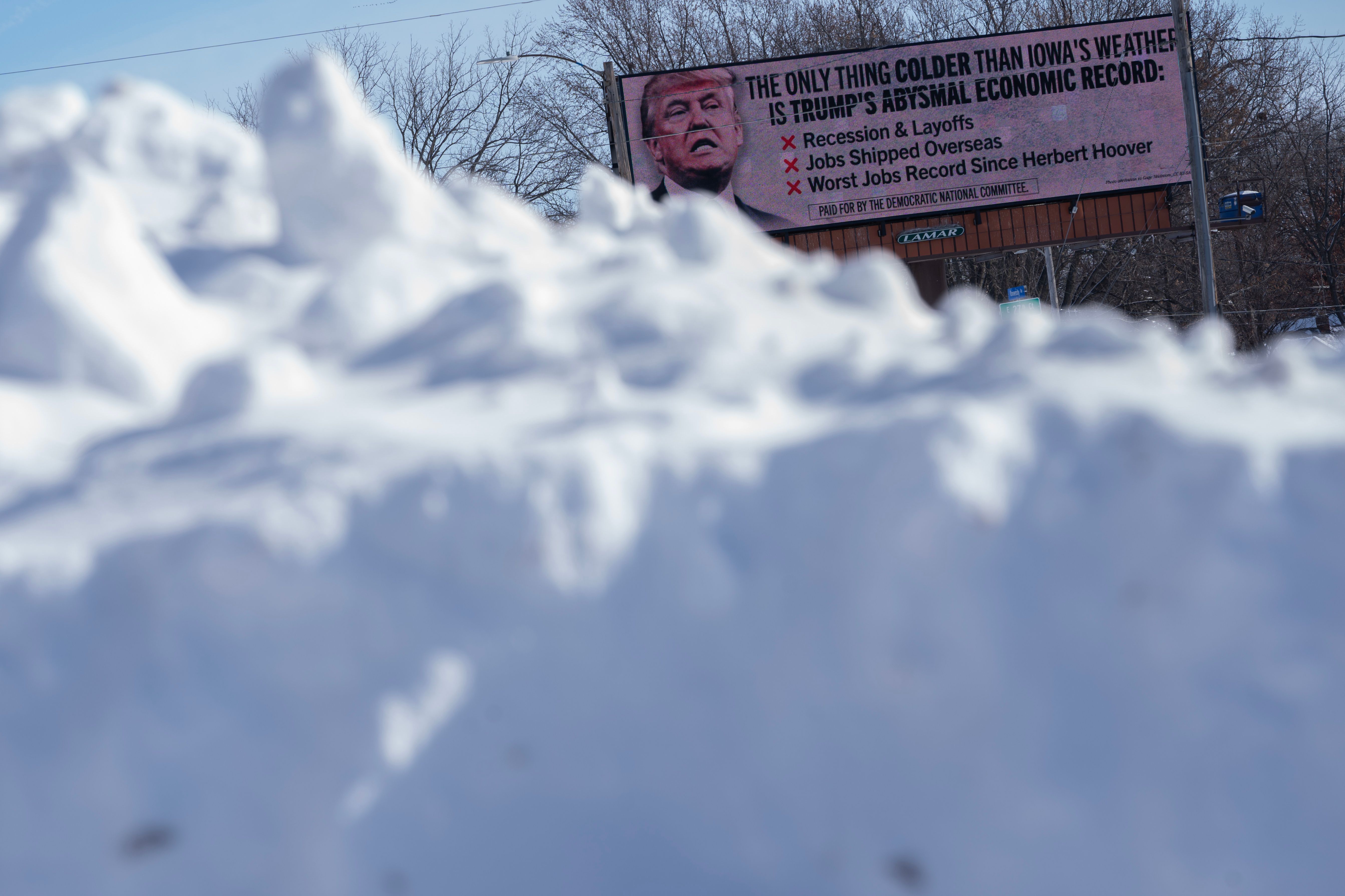
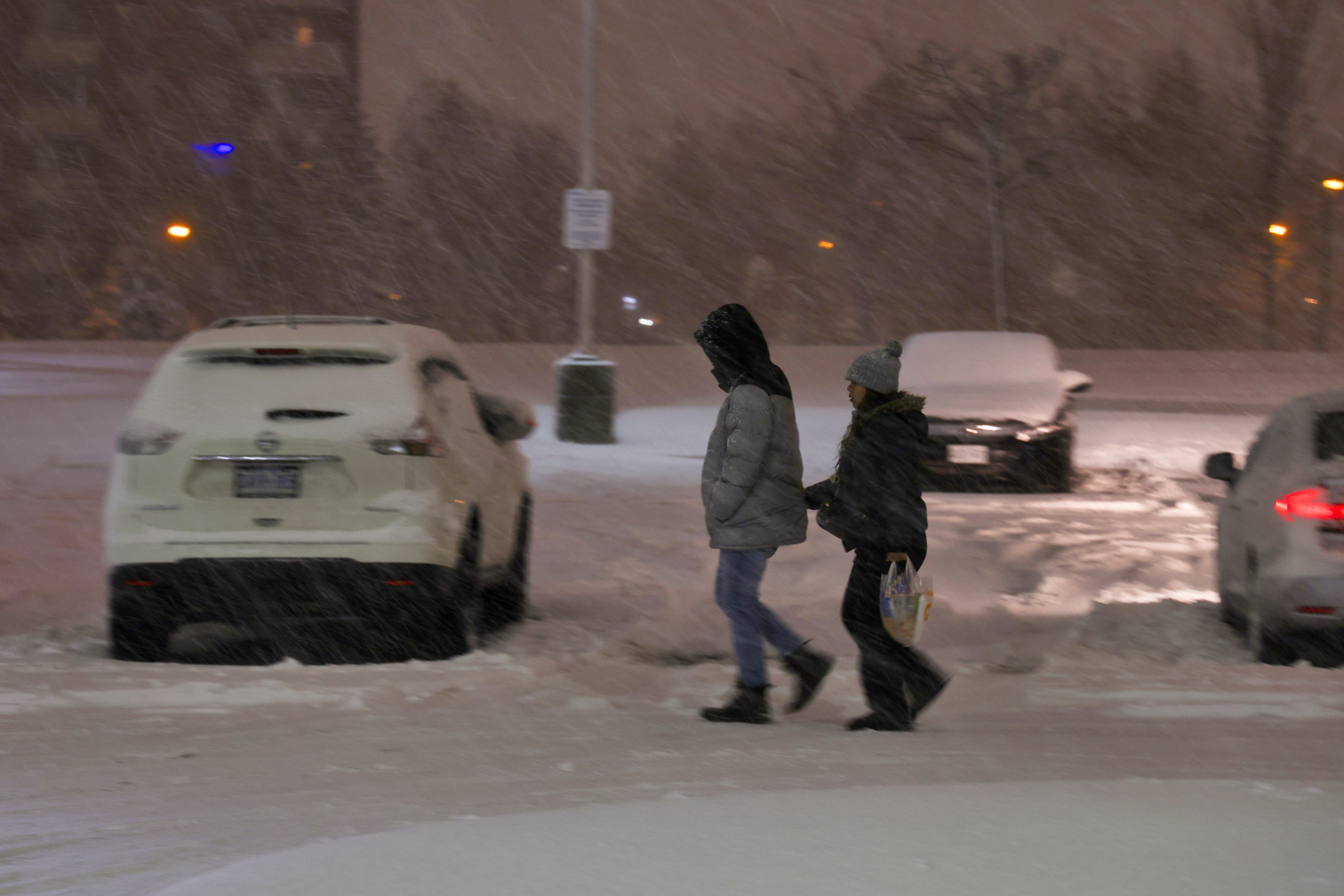
In photos: Dangerous winter conditions in Iowa and across North America
Weather alert: Multiple locations in northern Smith Co. are starting to see ice on bridges and overpasses including Toll 49, US 69, and I-20. If you can, please stay home. Screenshot is from https://t.co/uvq7N8e1VB at 3:25p on 1/14/24. pic.twitter.com/GENBB5ln4B
— TxDOT-Tyler (@TxDOTTyler) January 14, 2024
Go deeper... Winter whiplash: Why a parade of storms is suddenly slamming the U.S.
Editor's note: This a breaking news story. Please check back for updates. Andrew Freedman contributed reporting.