Heavy snow and strong winds were lashing New England and other parts of the U.S. — leaving nearly 17 million under winter storm warnings, from the Northeast to Northern Arizona Sunday evening.
The big picture: The first in a series of storms to hit the East Coast has caused travel disruptions as it brought over a foot of snow to portions of Massachusetts, New York and Pennsylvania on Sunday ahead of a second storm arriving Tuesday, per NOAA.
State of play: That storm was developing over the Southern Rockies ahead of a move northeastward to the Upper Great Lakes by Tuesday evening, according to the National Weather Service. Heavy snow was expected Monday over parts of the U.S. including in the Midwest Plains, where blizzard warnings were in effect through Tuesday morning.
- The NWS Storm Prediction Center warned severe thunderstorms and heavy rains that could strike the Central Gulf Coast from Monday through Tuesday morning could bring "frequent lightning, severe thunderstorm wind gusts, hail, and a few tornadoes."
- This could include tornadoes on the Enhanced Fujita Scale of EF2 to EF5 — the highest tornado rating in this category, which means there could be "incredible damage" from gusts of over 200 mph.
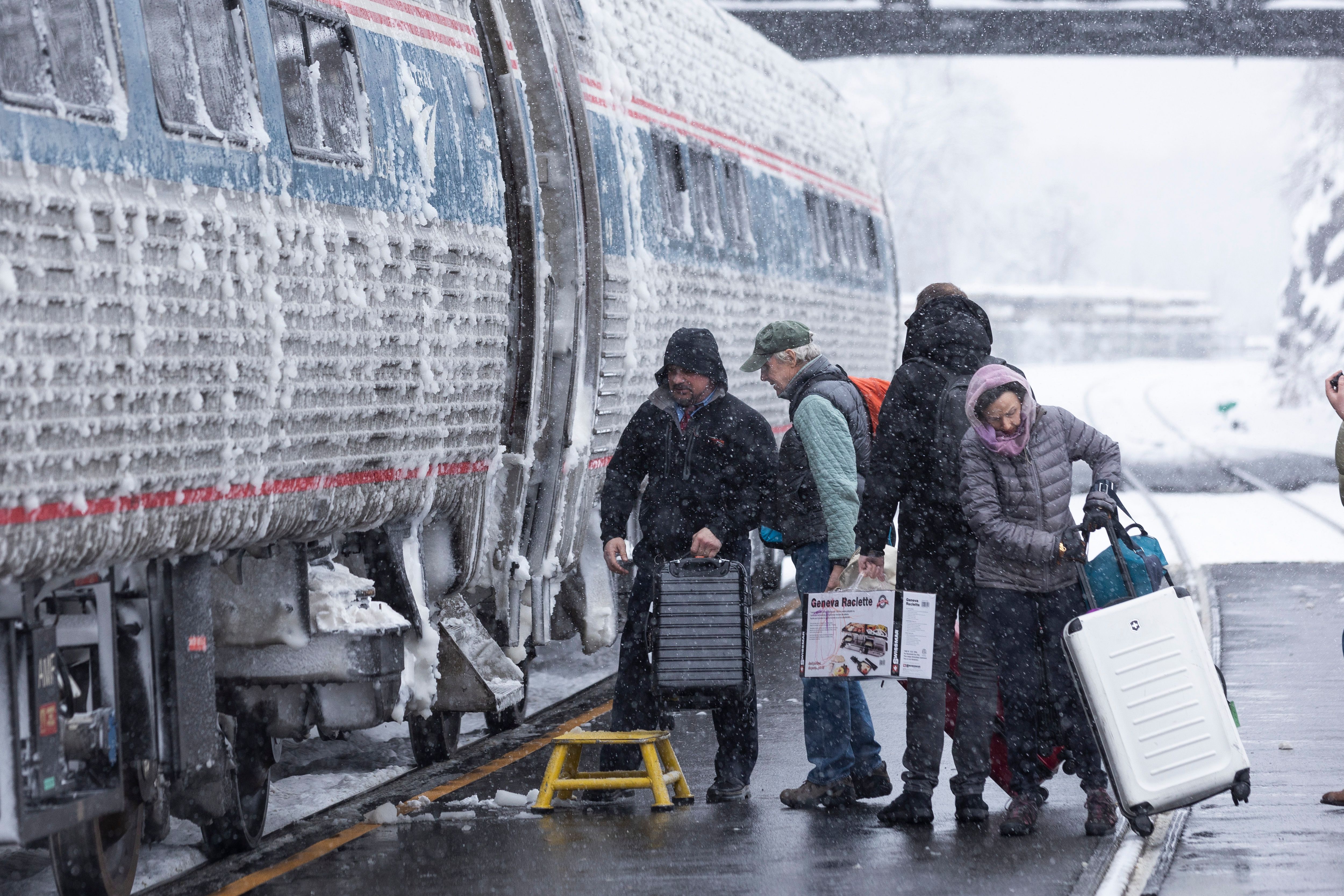
Travelers board an Amtrak train during a storm in Hudson, New York, on Jan. 7.
Climate change is making heavy precipitation events like the upcoming one
more extreme and frequent,
studies show. Photo: Angus Mordant/Bloomberg via Getty Images
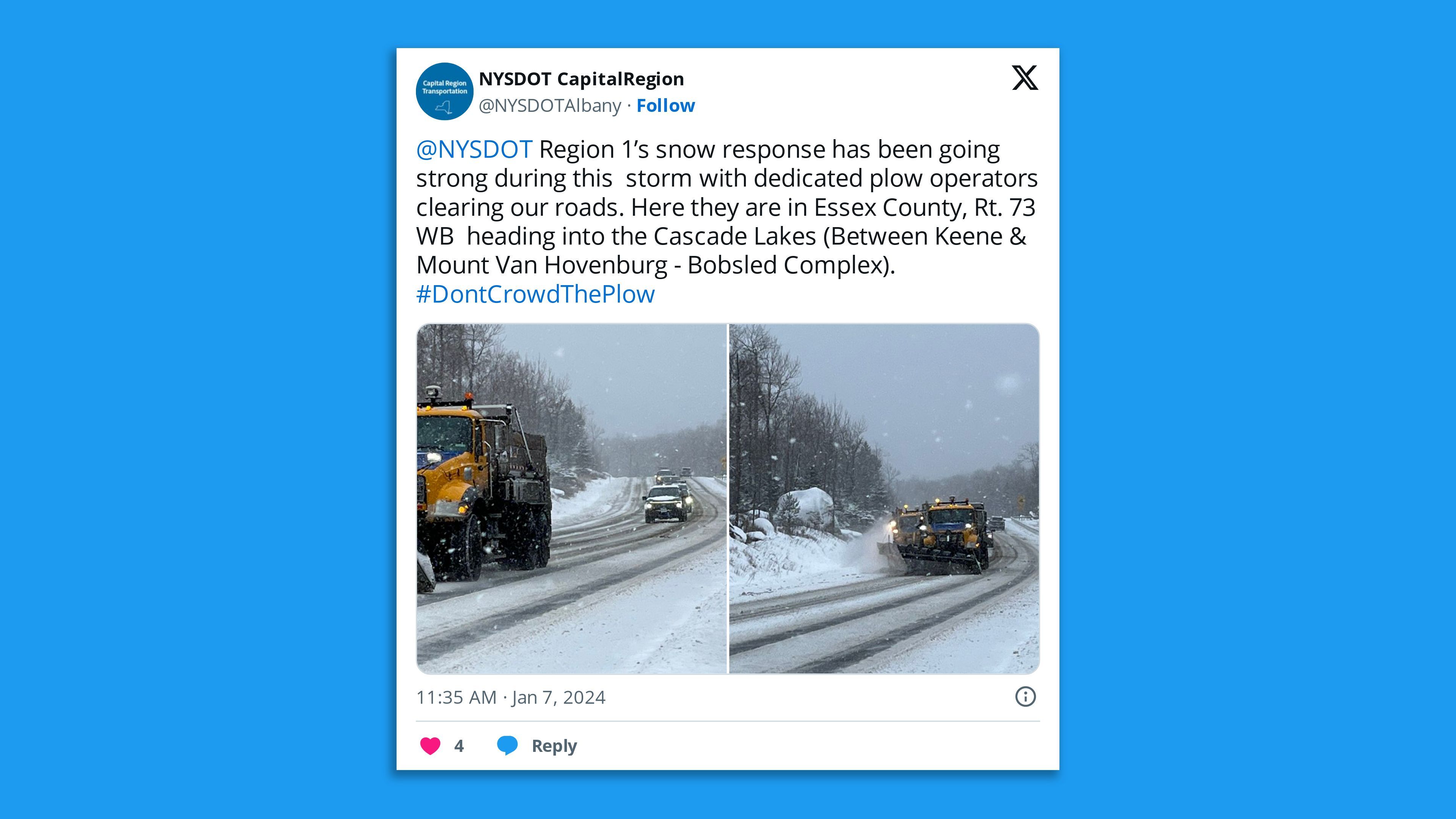
New York has seen heavy snowfall over the weekend, with NOAA's preliminary data showing that as of Sunday 13.1 inches of snow fell in Port Jervis, 12.4" fell in Unionville and 12" fell in Norfolk. Close to a foot of snow was recorded in Middletown, Bear Creek and Montgomery, per NOAA. Photo:
New York State Department of Transportation Capital Region/X
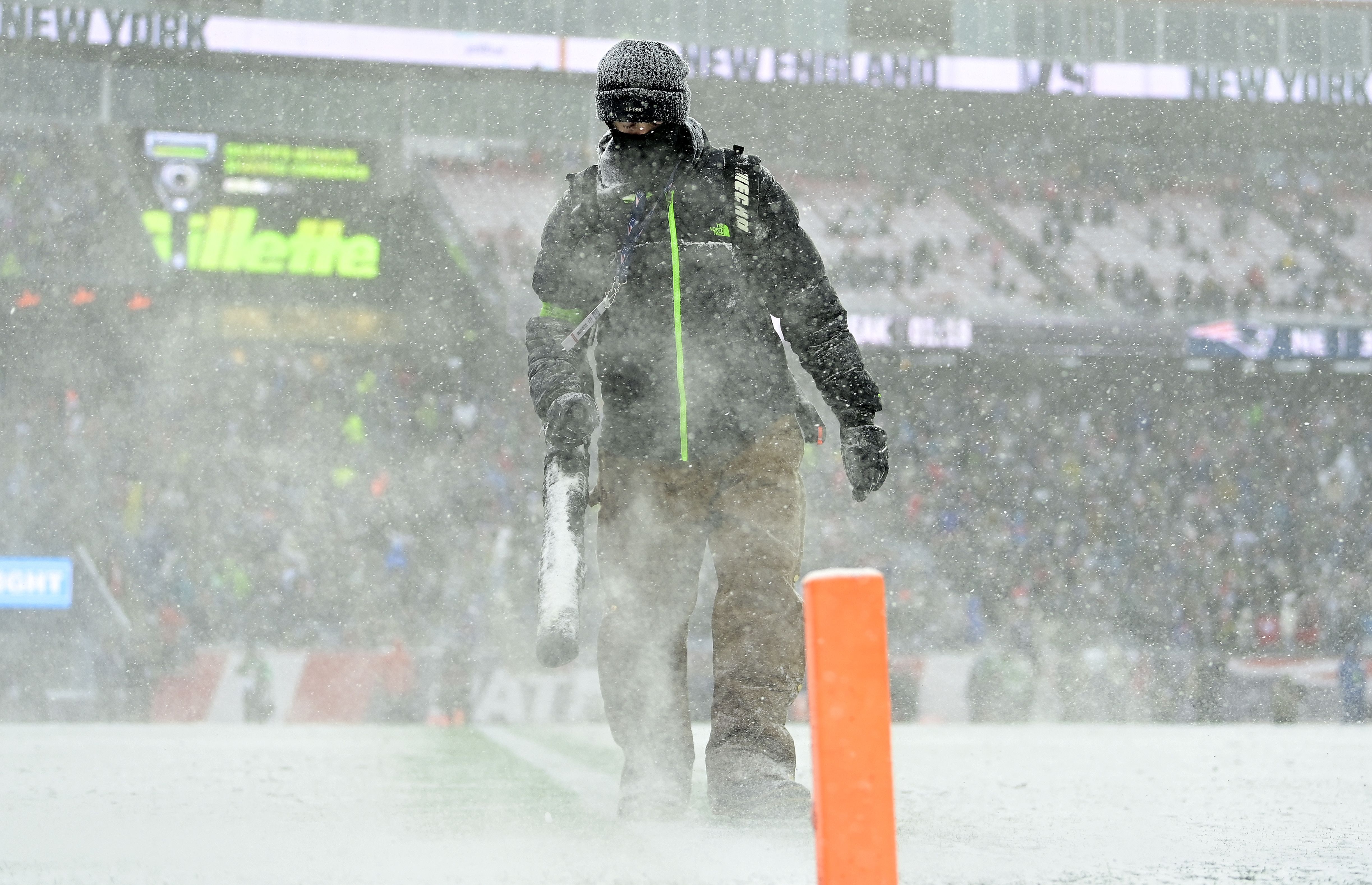
Grounds crew members blow snow during the first half of the New England Patriots-New York Jets game at Gillette Stadium in Foxborough, Mass., on Jan. 7. Massachusetts saw heavy snowfall, with 12" falling in Havervill, 11" in Easthampton, 10.4" in Granville and 9.8" in Fitchburg, according to NOAA's preliminary data Sunday. Photo: Billie Weiss/Getty Images
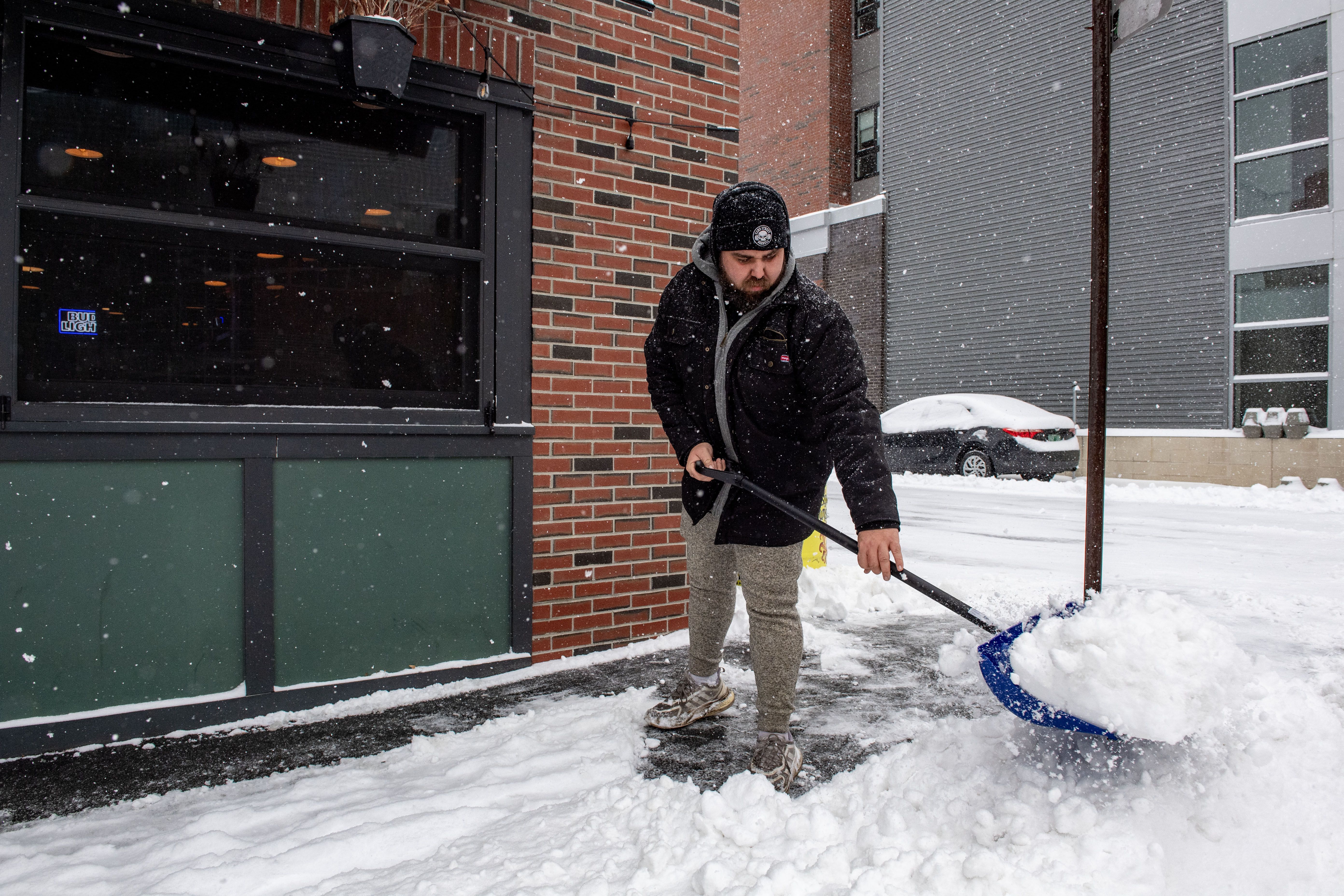
A person clears snow in front of a business in Manchester, New Hampshire, on Jan. 7. The state saw heavy snowfall Sunday, with 12" falling in Windham, 7.8" in Nashua, 7.5" in Brookline, 7" in Hollis and 6.8" in Hampstead. Photo: Joseph Prezioso/AFP via Getty Images
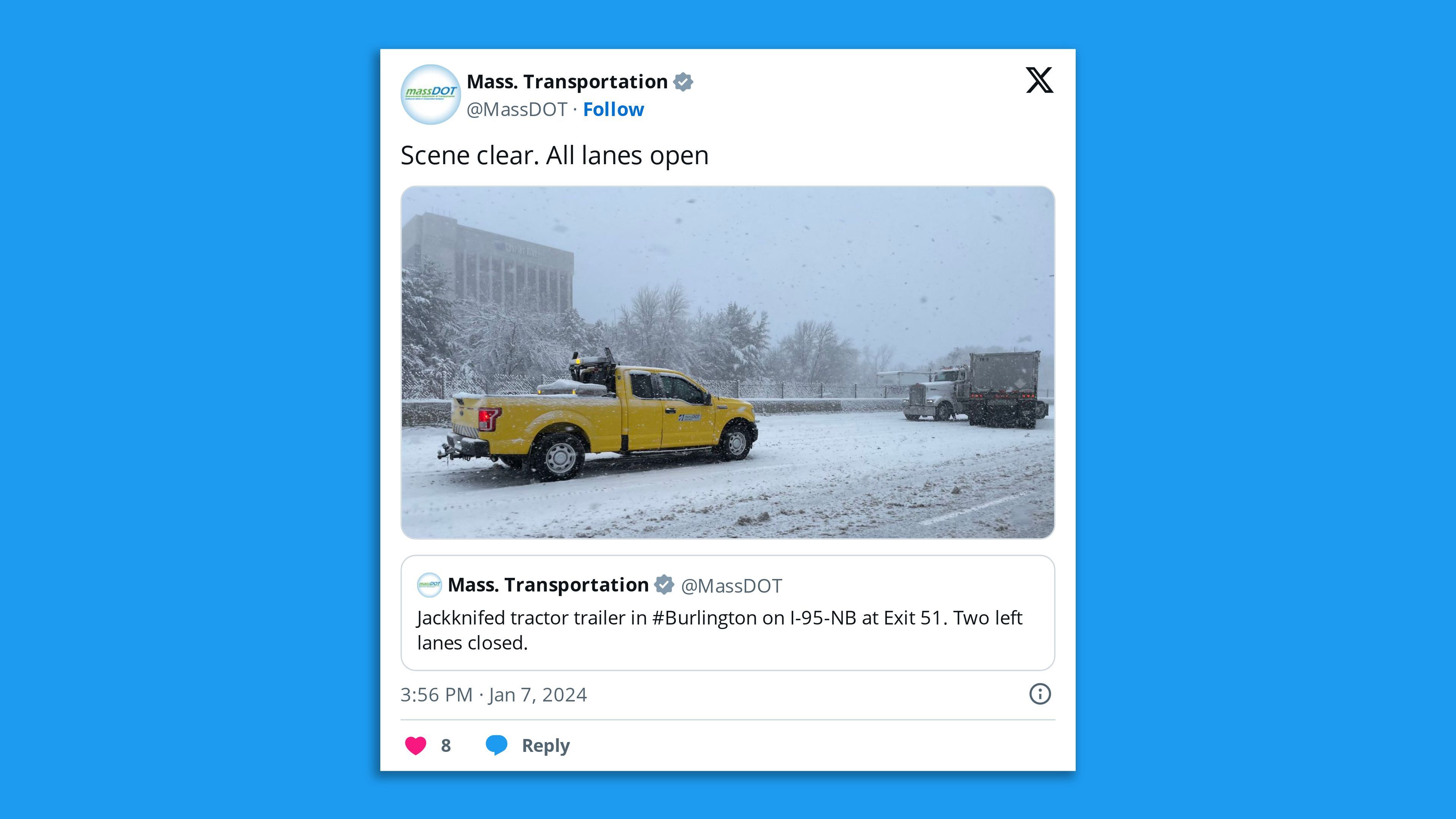
Massachusetts Department of Transportation Administrator Jonathan Gulliver
told WBZ-TV CBS Boston that "secondary roadways are in tough shape" during the first storm in almost two years and overnight spin-outs included a "jackknifed tractor-trailer" in Charlton that temporarily closed part of the Mass Pike. Photo:
MassDOT/X
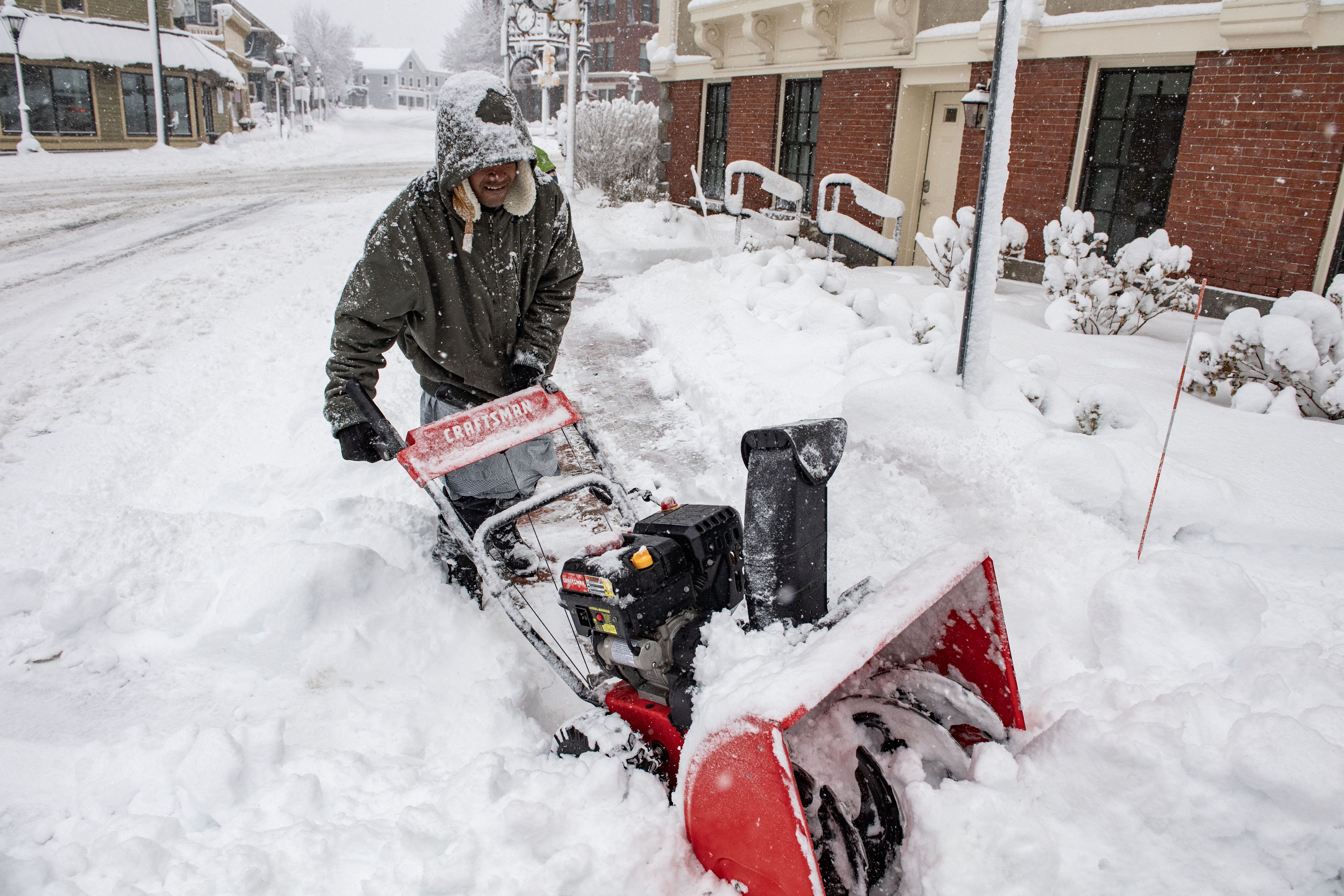
A person uses a snowblower to clear snow in front of a home in Methuen, Mass., Jan. 7, where some
15.5" of snow fell by the evening. The storm caused nearly 17,000 customers to lose power in the state as of Sunday evening, according to utility tracker
poweroutage.us. Photo: Joseph Prezioso/AFP via Getty Images
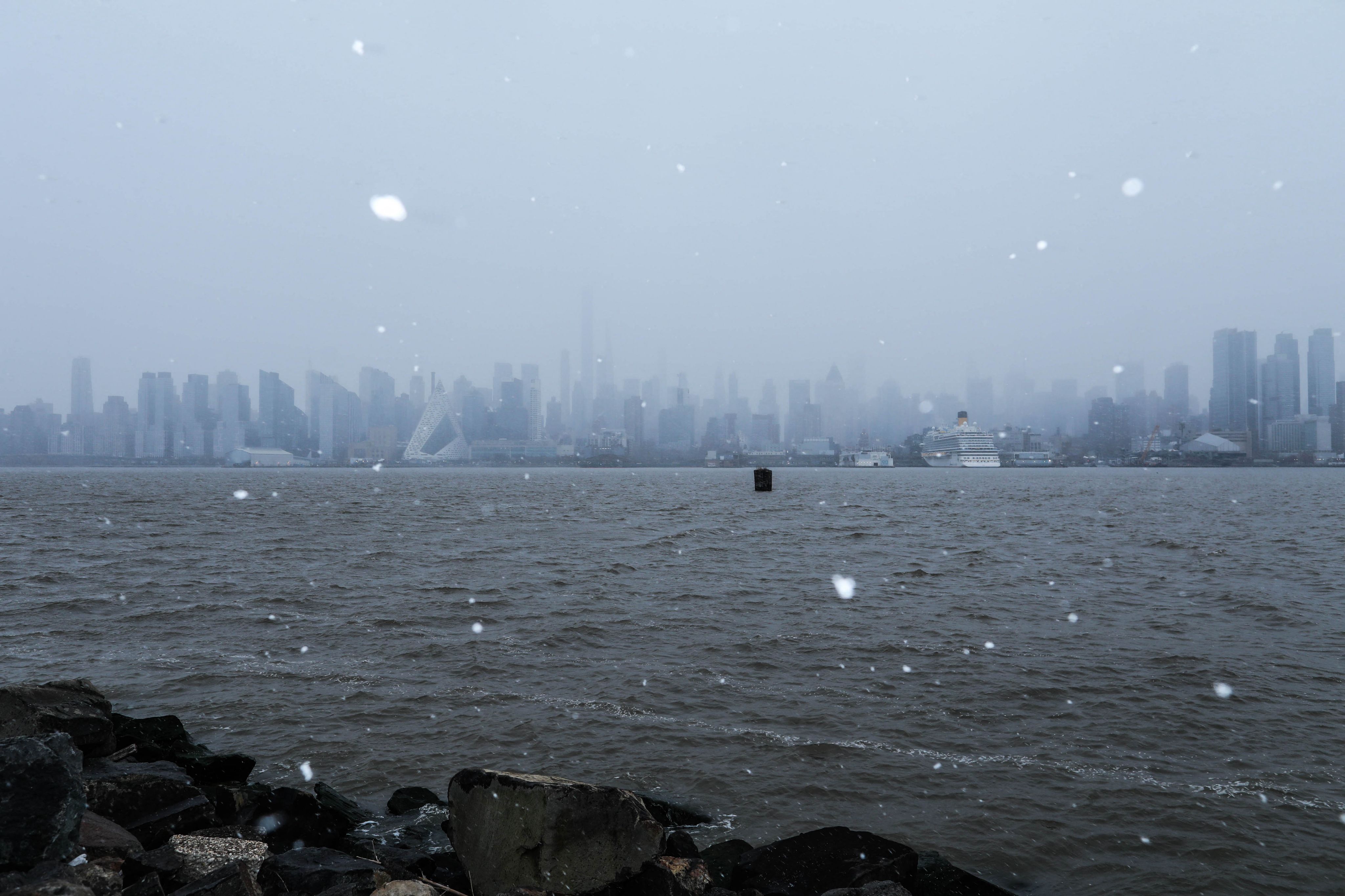
Snow flurries fall as the New York skyline is seen in the background of the Hudson River from Weehawken, New Jersey, on Jan. 6. N.J. also saw heavy snowfall, in Wantage in particular where preliminary NWS
data shows some 13.5" fell on Sunday. Photo: Kena Betancur/AFP via Getty Images

Snowfall in Midtown Manhattan, New York City, on Jan. 6. N.Y. Gov. Kathy Hochul in
a post to X on Jan. 7 urged people in the state to "continue to exercise caution, monitor local forecasts, & limit travel." Photo: Adam Gray/AFP via Getty Images
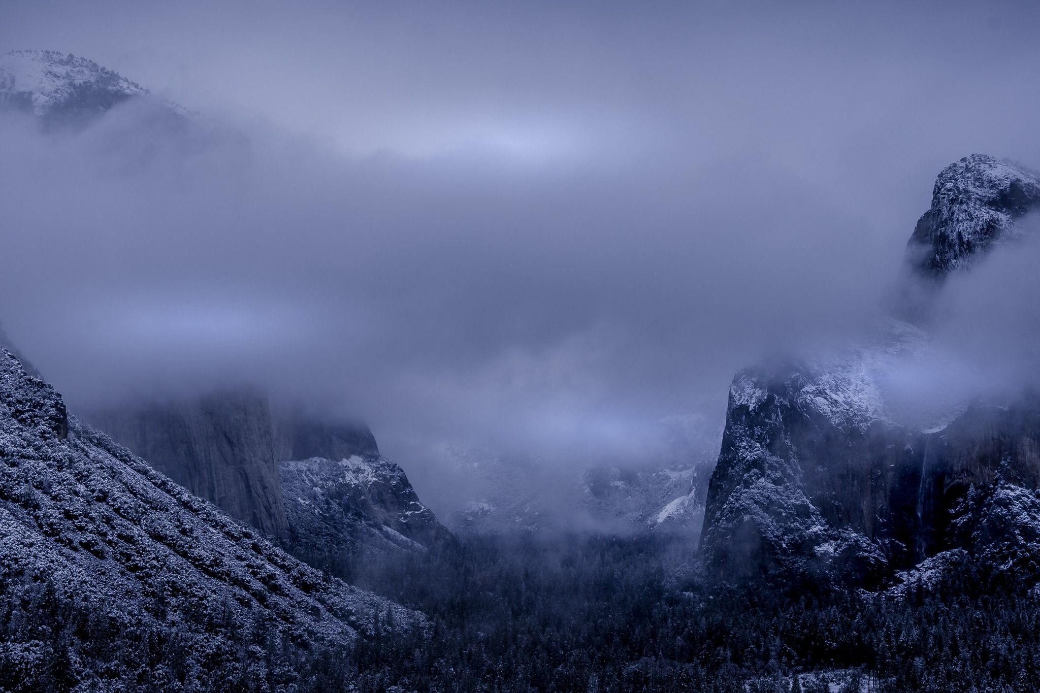
In the western U.S., snow covers Yosemite National Park on Jan. 6 as a winter storm warning was in effect across the Sierra Nevada. Photo: Yosemite National Park/
FacebookEditor's note: This a breaking news story. Please check back for updates.