Major storm slams Western and Central U.S.
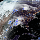
A severe and far-reaching storm was affecting much of the West and Plains on Tuesday, from the Canadian to the Mexican borders.
Why it matters: The array of hazards is unusual even for the typically volatile spring in the U.S., with everything from wildfires to a multiday severe thunderstorm outbreak and, for some, even tornadoes and blizzard conditions.
Visibility remains very poor in the Bismarck area, you can barely see the radar. Blizzard🌨 conditions will continue across central and western North Dakota this afternoon. #NDwx #blizzard pic.twitter.com/A2y7aZ1M6T
— NWS Bismarck (@NWSBismarck) April 12, 2022
Threat level: Certain types of extreme weather events, including compound events with multiple hazards occurring at once, are a growing threat with climate change.
The big picture: Nearly 9 million people were under red flag warnings for dangerous fire weather conditions on Monday, due to dry conditions and strong winds. West Texas could be especially hard hit, along with parts of Oklahoma and western Nebraska.
- There's an enhanced risk of severe thunderstorms in northeast Kansas into southern Minnesota, along with parts of northern Texas and a moderate risk of severe thunderstorms in far eastern Nebraska into central Iowa, according to the National Weather Service Storm Prediction Center
Of note: After the most tornadoes occurred in March in the U.S., more severe weather was beginning to hit central Texas to Iowa on Tuesday, moving eastward Wednesday.
- Tornado watches were issued into the night for most of the region in and around northern Iowa, central Texas and Louisiana. The NWS confirmed a twister touched down in Salado, Bell County, Texas, where large hail was also reported on Tuesday evening.
- Bell County Judge David Blackburn said the tornado wounded 23 people and caused "significant" damage in the town, per NBC News.
By the numbers: Nearly 69,000 customers in Louisiana and almost 61,000 others in Texas were without power on Wednesday morning, according to utility tracking site poweroutage.us.
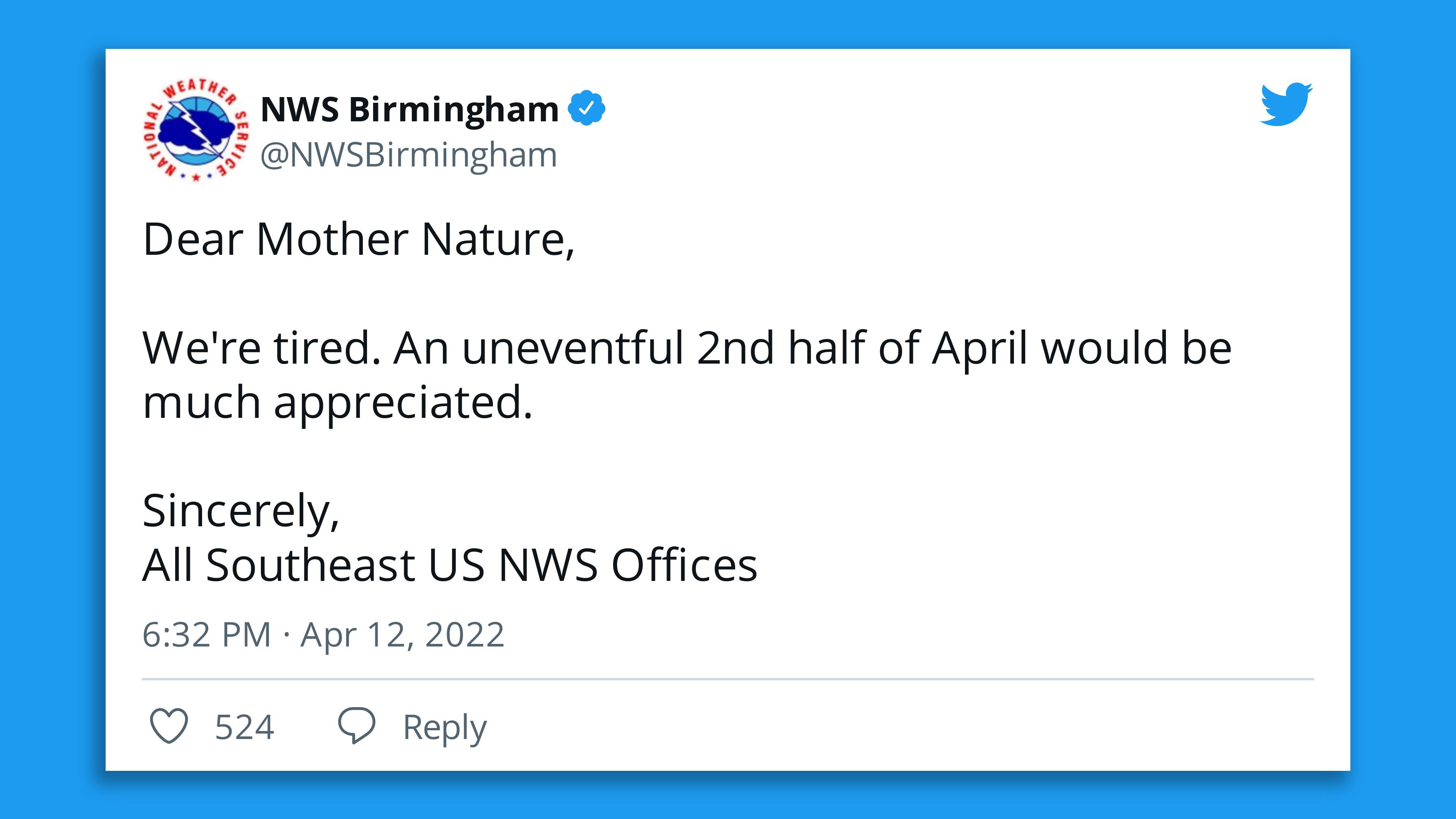
What else is happening: The major storm system was bringing heavy snow and blizzard conditions to areas including the northern Plains through Wednesday night, per the National Weather Service.
- A raging blizzard was on tap for North Dakota, where the NWS was warning of "extreme impacts" from two to three feet of snow, and an all-time state April snowfall record could be set.
- Road closures were reported in several states — including North Dakota on Tuesday night, including to the borders with Canada and Montana, and Colorado where poor visibility from "blowing snow" caused at least one car crash, per 9 News.
Meanwhile, "extremely critical fire weather conditions" were also developing across the central and southern High Plains on Tuesday, according to the NWS.
- In New Mexico, homes were among about 150 structures razed by the 3,000-acre McBride Fire that on Tuesday triggered the evacuation of a high school in the village of Ruidoso, south of Santa Fe, amid warm, dry conditions, NBC News reports.
What's next: "Numerous severe thunderstorms appear likely across a large portion of the lower/mid Mississippi Valley into the Midwest, and lower Ohio Valley on Wednesday," the NWS Storm Prediction Center said.
- Severe thunderstorms capable of producing damaging wind gusts, large hail, and tornadoes were possible from the Plains into the Mississippi River Valley until Thursday.
- "Damaging winds, some of which could be significant, several tornadoes (some strong), and large to very large hail will likely occur," the prediction center noted.
Editor's note: This article has been updated with more details on the Bell County tornado, the power outages and the New Mexico fire.